City Seeks Input on Madison Street Corridor Revitalization
Survey open through Nov. 9 aims to guide redevelopment along key West Side commercial corridor
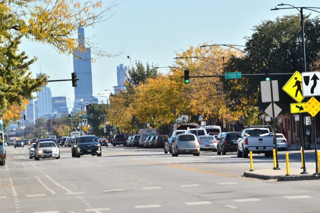
The Chicago Department of Planning and Development (DPD) has opened an online survey inviting residents, business owners and regular commuters to weigh in on the future of the Madison Street corridor — a roughly three-mile stretch of Madison Street on Chicago’s West Side, running from Hoyne Avenue to Kenton Avenue through the Near West Side, East Garfield Park and West Garfield Park neighborhoods.
Launched in October 2025, the survey is part of a larger corridor study effort designed to guide redevelopment of land use, commercial activity, transportation options and community amenities in an area that has experienced decades of disinvestment. Input gathered from the survey will help shape a vision document that aims to ensure investments reflect local priorities.
The survey will remain open through Sunday, Nov. 9. Participants can access it and review related materials on the project’s website.
Community-engagement organizers emphasize that this is a key opportunity for voices that are often underrepresented in planning processes to help steer decisions on future infrastructure and economic development. The findings of this survey will be integrated into subsequent open-house meetings and draft plan phases.
What’s Next for Madison Street
The Madison Street Corridor Study, led by Chicago’s Department of Planning & Development, will use feedback from residents, businesses, and commuters to shape a shared vision for a roughly three-mile stretch of Madison Street from Hoyne Avenue to Kenton Avenue.
Transportation and Streetscape Improvements
Planners are exploring ways to make Madison more pedestrian- and transit-friendly, with possible upgrades to bus stops, bike lanes, and crosswalks. Streetscape improvements — including lighting, trees and public art — are also on the table to improve safety and walkability.
Land Use and Development
The study will evaluate vacant lots and underused parcels along the corridor, identifying potential for mixed-use, affordable housing and commercial development that supports existing businesses and fills service gaps in East and West Garfield Park.
Economic Opportunity and Retail Revitalization
Community feedback will inform strategies to attract local retailers, support small businesses and create workforce pipelines. DPD officials say they aim to preserve existing community anchors while fostering new investment that benefits longtime residents.
Timeline and Next Steps
- Now through Nov. 9: Public survey open on the city’s website.
- Winter 2025–26: DPD and community partners will host public meetings to share findings and discuss draft recommendations.
- Spring 2026: Final plan expected to outline implementation steps, funding priorities, and coordination with ongoing neighborhood projects.
Related Articles
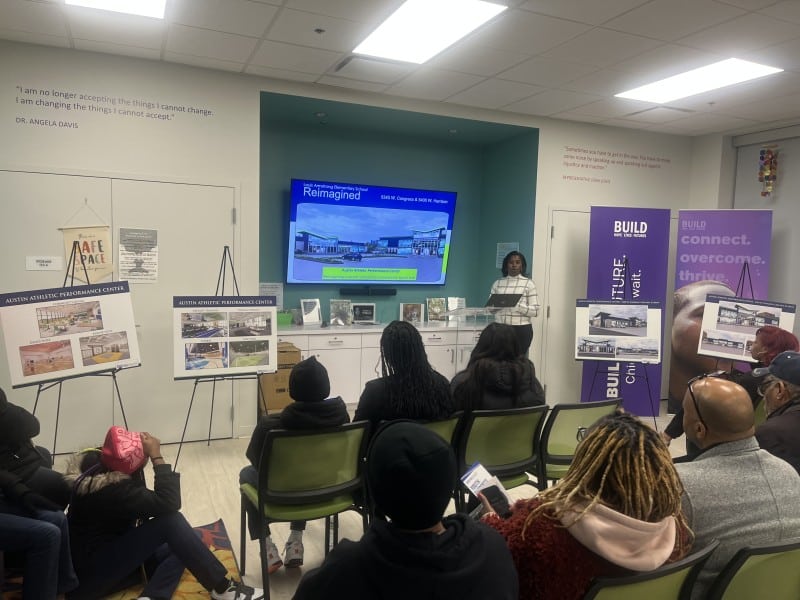
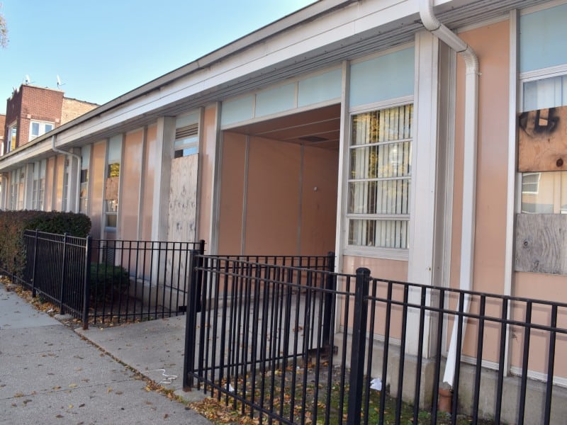
Still Angry Over 2013 School Closures, Austin Residents Hear Two Proposals To Revive Shuttered Armstrong
Residents packed BUILD Chicago Nov. 10 to hear two Black-women-led plans to redevelop Louis Armstrong Elementary —one as a cosmetology college, the other as a sports and wellness center
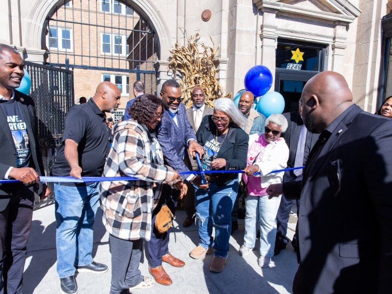
Saved From Blight, Chicago Avenue Apartment Complex Now a Soul City Beacon
After $2M remodeling effort, the building at 5246 W. Chicago Ave., once known disparagingly as ‘The Carter,’ now houses 20 affordable, modernized units